
GA303 is a short State Route that runs from US17/GA25 in Southern Glynn County near the junction of
US17/82 and IH95 at Exit 29 to US17 North of Brunswick. The Southern part of the highway runs through rural and coastal marsh areas up to the junction with US341-25/GA27 and more commercial areas North of US341-25/GA27. South of US341, the road is known as
Blythe Island Highway and North of US341 it is known as Community Road.
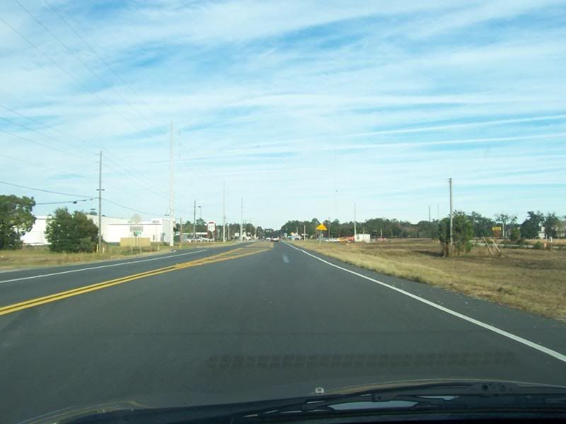
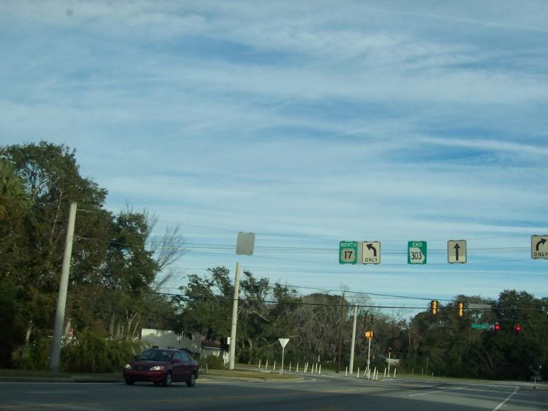
On US17 Northbound, approaching the junction with GA303.
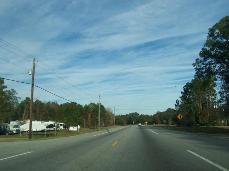
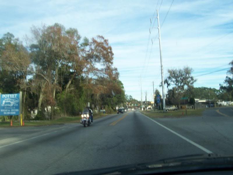
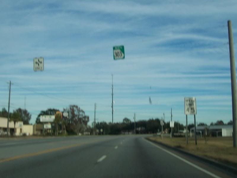
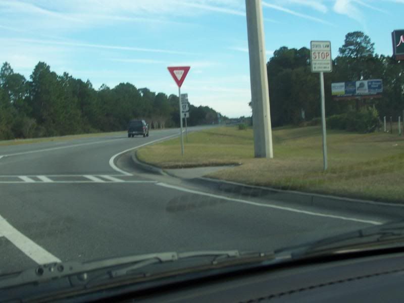
Approaching the intersection that marks the beginning of GA303 Northbound.
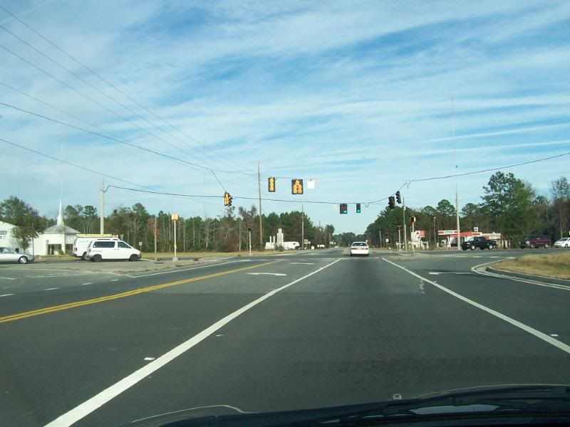
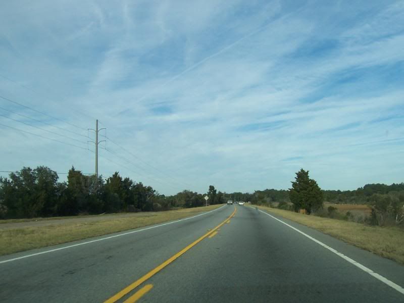
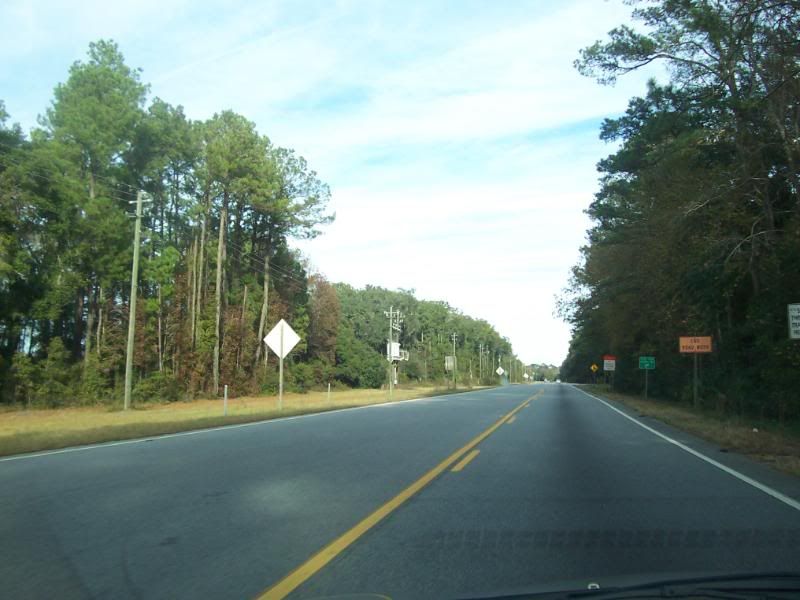
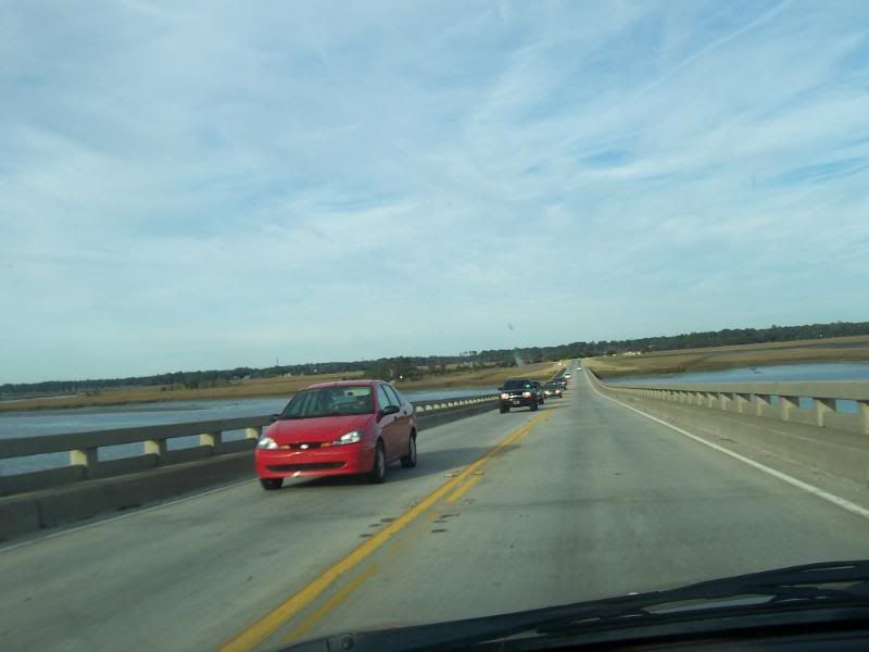
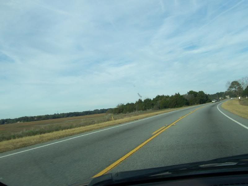
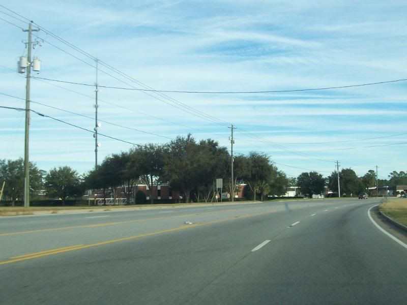
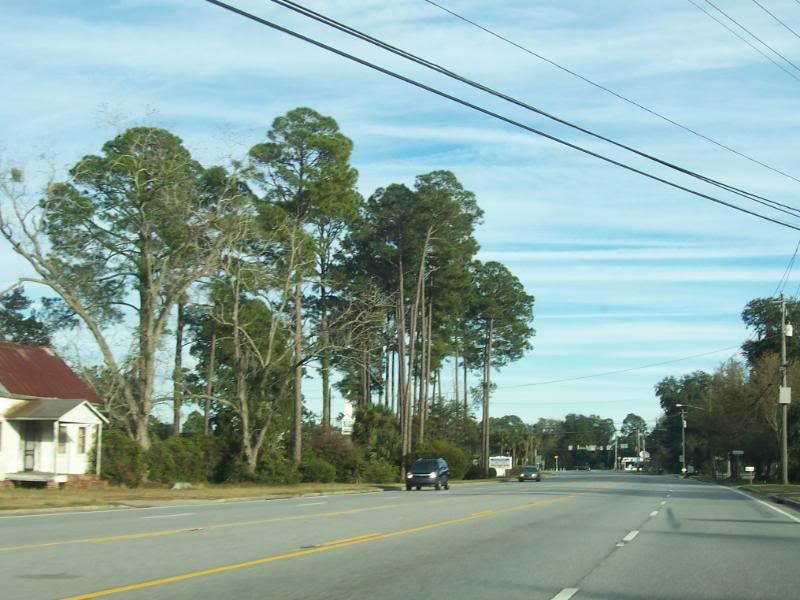
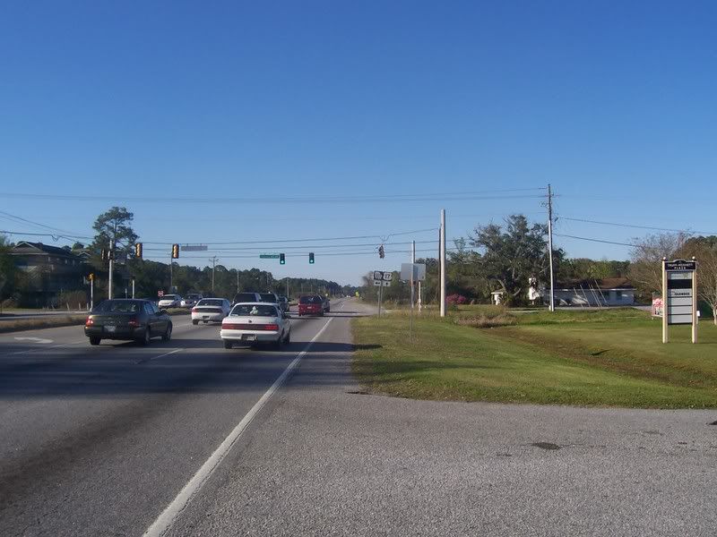
Northbound on GA303.
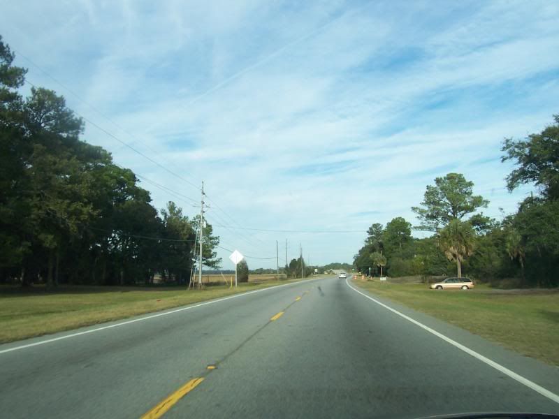
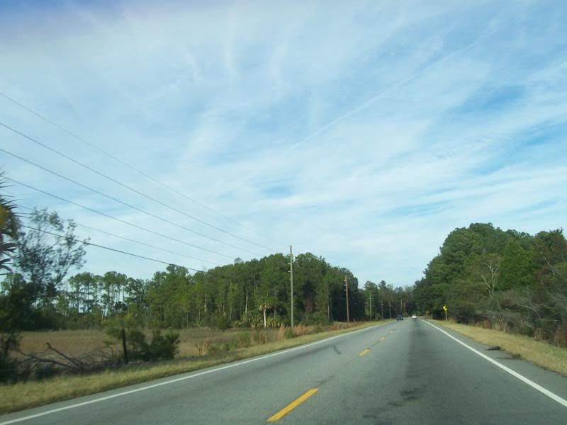
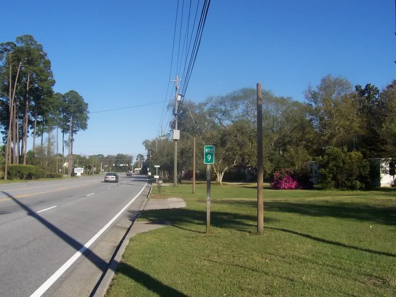
GA303, Glynn County, GA.
GA303, Glynn County, GA.
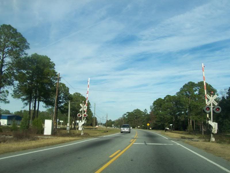
Approaching a RR crossing that goes to the Colonel's Island Roll On-Roll Off Facility.
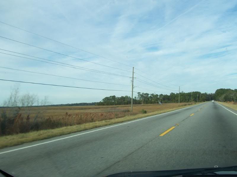
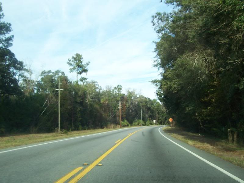
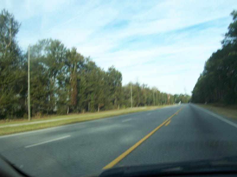
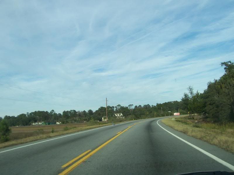
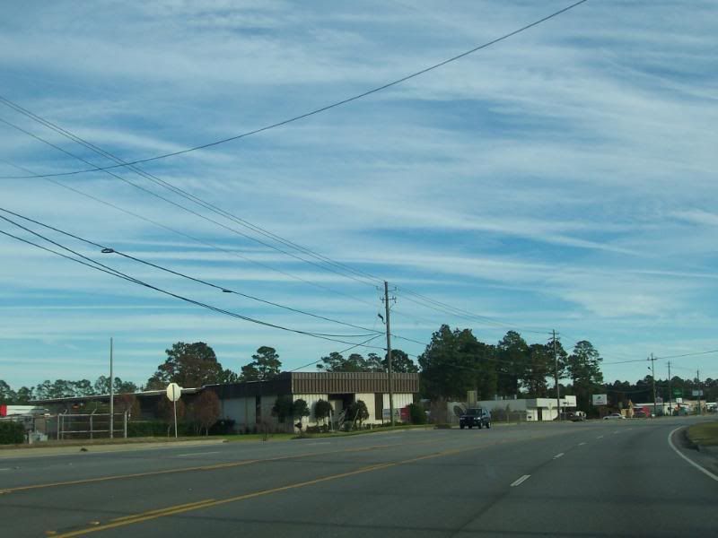
GA303, Glynn County, GA.
GA303, Glynn County, GA.
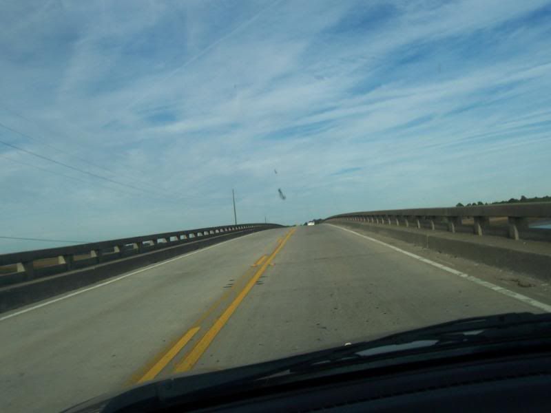
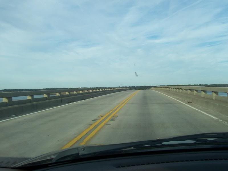
Crossing the South Brunswick River.
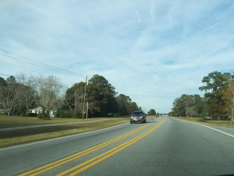
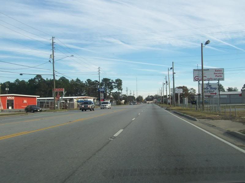
GA303, Glynn County, GA.
GA303, Glynn County, GA.
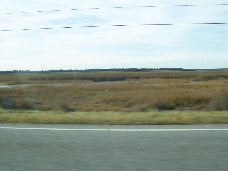
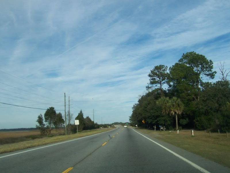
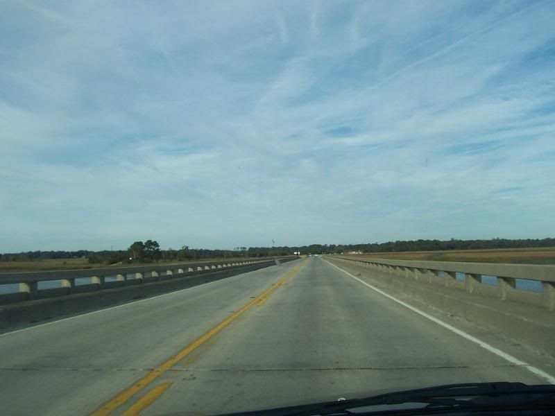
Looking West over the marsh.
GA303, Glynn County, GA.
GA303, Glynn County, GA.
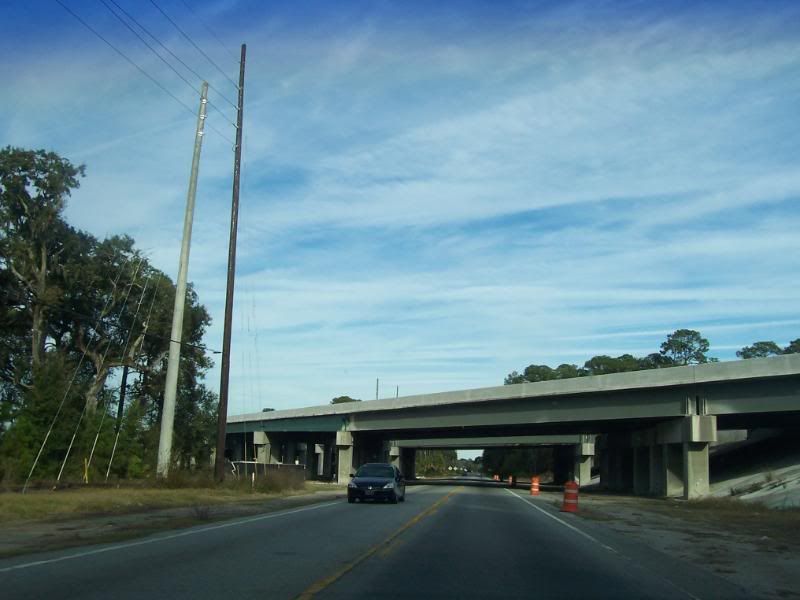
Approaching the overpass for IH95 - currently under construction for the widening of the interstate. There is no junction for IH95 and GA303.
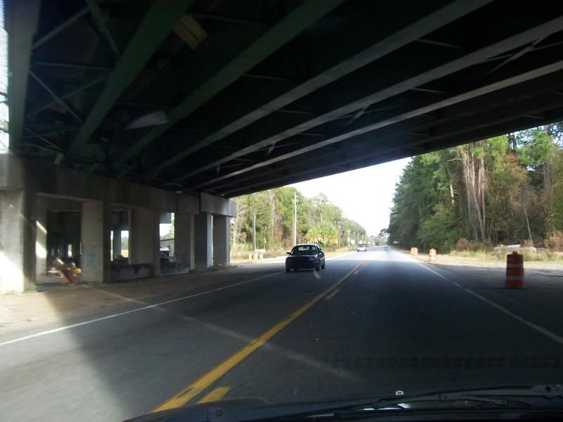
Passing under IH95.
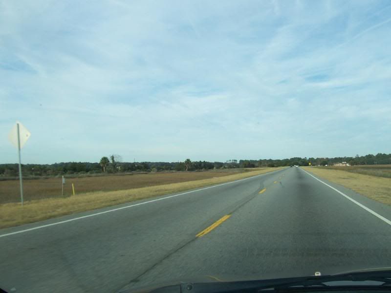
GA303, Glynn County, GA.
GA303, Glynn County, GA.

GA303, Glynn County, GA.
GA303, Glynn County, GA.

GA303, Glynn County, GA.

Approaching the Turtle River and the staging area for the construction crews that are working on the IH95 bridges over the same river.

More of the construction area.
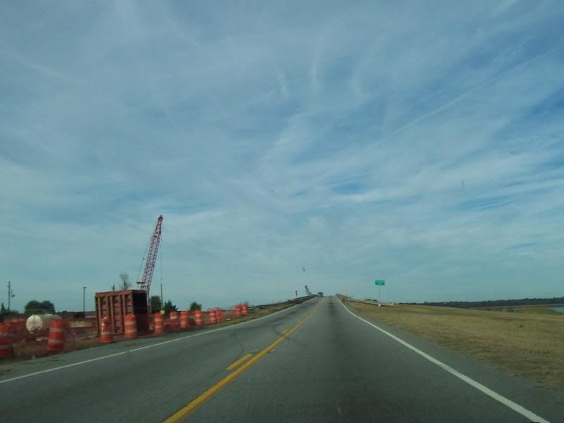
More construction and approaching the bridge.
Crossing the Turtle River.
Crossing The Turtle River.
On the flat part of the bridge.
GA303, Glynn County, GA.
GA303, Glynn County, GA.
GA303, Glynn County, GA.
GA303, Glynn County, GA.
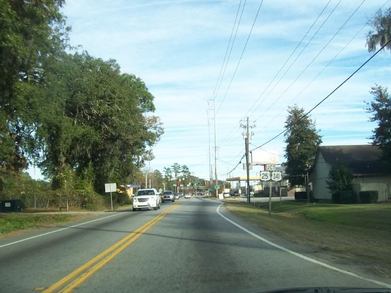
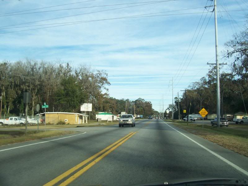
Approaching the junction with US341-25/GA27.
Approaching US341-25/GA27.
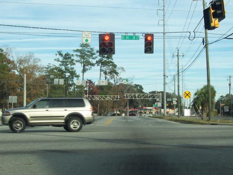
The junction of GA303 and US341-25/GA27.
The intersection of GA303 and Old Jesup Road.
Crossing the train tracks leading to the CSX Railyard.

At the top of the bridge over the CSX Railyard and looking at the intersection with Habersham St.
GA303, Glynn County, GA.
GA303, Glynn County, GA.
GA303, Glynn County, GA.
GA303, Glynn County, GA.
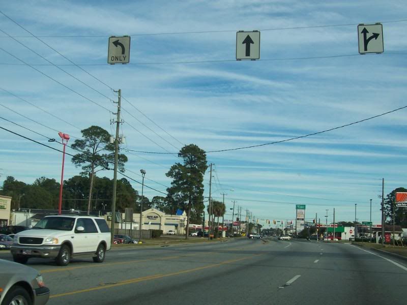
Approaching the intersection with Altama Ave.
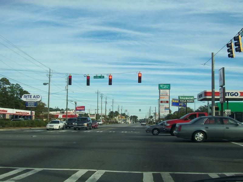
The intersection of GA303 and Altama Ave.
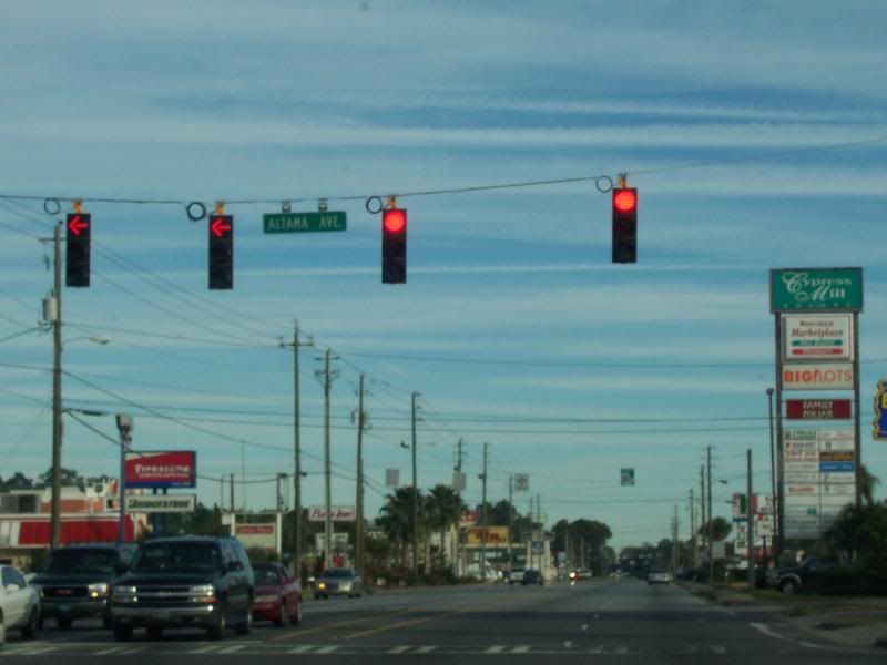
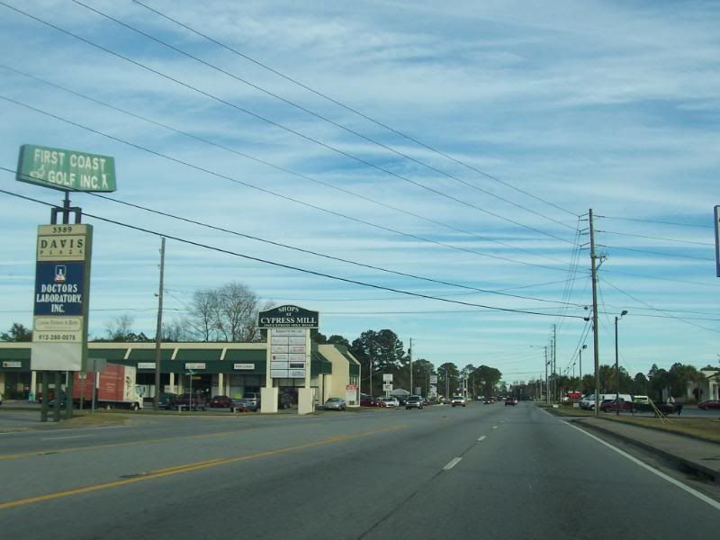
The intersection of GA303 and Altama Ave. The shopping center, "Cypress Mill Square," reflects that this part of the road is also referred to as "Cypress Mill Road." As for the shopping center, it sits on the site of the former Brunswick Mall which burned
under mysterious circumstances in 1983.
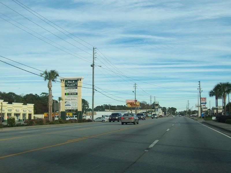
GA303, Glynn County, GA.
GA303, Glynn County, GA.

The intersection of GA303 and GA25-Spur/Golden Isles Parkway.
The intersection of GA303 and GA25-Spur/Golden Isles Parkway.

GA303, Glynn County, GA.
GA303, Glynn County, GA.
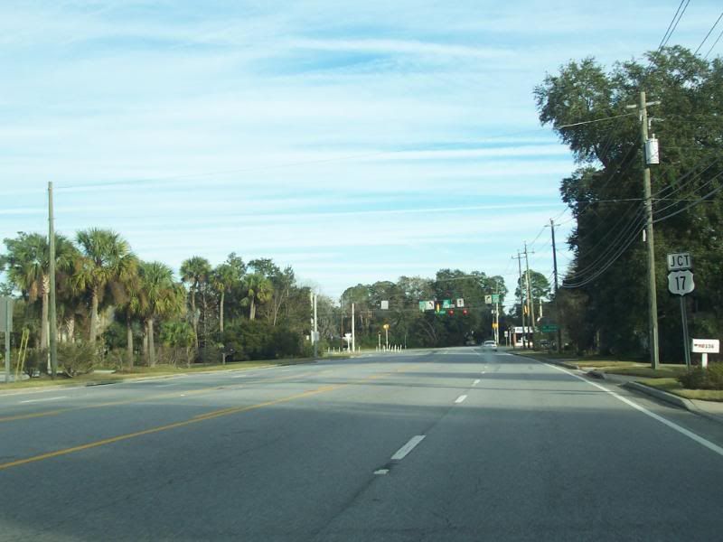
The Northern end of GA303 at US17/GA25
The Northern end of GA303 at US17/GA25
The Northern end of GA303. The following were taken some time ago.
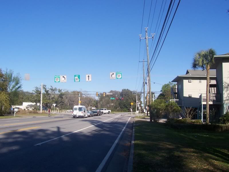
A clearer view of the overhead signage at the Northern end of GA303.
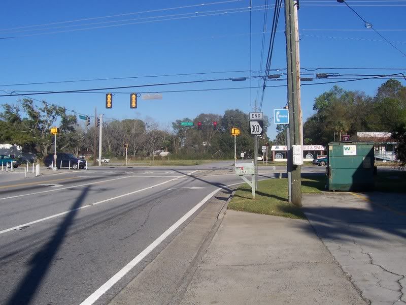
The End GA303 sign. (I was on foot at the time these few pics were taken.) The payphone is long gone, but the sign lingers on.
The Northern end of GA303 as seen from US17.

The JCT GA303 sign on US17 Northbound with the junction in the background.